Hurricane Melissa: Fact-Checking the Viral Category 5 Storm Warning
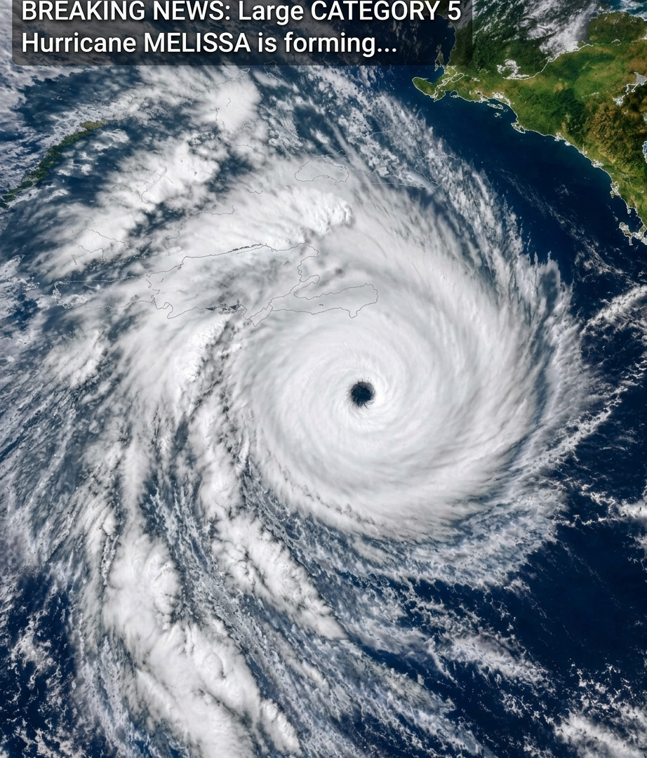
A dramatic satellite image showing a powerful hurricane has been circulating online with the caption, “Breaking News: Large Category 5 Hurricane Melissa is forming.” The image depicts a massive spiral storm with a clearly defined eye, surrounded by intense bands of thunderstorms.
However, the caption needs important context. Hurricane Melissa was a real and devastating Category 5 hurricane in October 2025, but the image and caption do not establish that a new Hurricane Melissa is forming in October 2026.
What Happened to Hurricane Melissa?
Hurricane Melissa developed in the Atlantic basin in October 2025 and intensified into a Category 5 hurricane before striking Jamaica on October 28, 2025. It caused catastrophic damage, flooding, and storm-surge impacts in parts of the Caribbean. NOAA later identified Melissa as one of the strongest Atlantic hurricanes on record. <Cite refs={[“turn374602news5″,”turn374602news6”]}/>
The storm’s rapid intensification made it particularly dangerous. Its slow movement also contributed to extreme rainfall and severe flooding across affected islands.
Is a New Category 5 Hurricane Melissa Forming Now?
As of October 18, 2026, the National Hurricane Center’s latest available Atlantic outlook reports no active tropical cyclones in the Atlantic basin. Its current advisories identify Hurricane Trudy in the eastern North Pacific, not a newly forming Atlantic Hurricane Melissa. <Cite refs={[“turn374602search0″,”turn374602search11”]}/>
Therefore, the viral caption should not be treated as a verified current hurricane warning. It may be recycling imagery or information from the 2025 storm.
What Does a Category 5 Hurricane Mean?
The Saffir–Simpson Hurricane Wind Scale classifies hurricanes according to their maximum sustained winds.
Category 1: 74–95 mph
Category 2: 96–110 mph
Category 3: 111–129 mph
Category 4: 130–156 mph
Category 5: 157 mph or higher
Category 5 hurricanes can cause catastrophic damage to buildings, infrastructure, vegetation, and electrical systems. Flooding and storm surge can also be life-threatening, even beyond the areas experiencing the strongest winds.
Can You Trust the Satellite Image?
Satellite imagery is an important tool for monitoring tropical storms and hurricanes. However, a dramatic image alone cannot confirm a storm’s name, current intensity, location, or projected path.
Images may be reused, color-enhanced, cropped, or shared without their original date and source. Reliable verification requires checking the timestamp and consulting official meteorological advisories.
How to Stay Safe During Hurricane Season
If you live in an area threatened by a tropical cyclone:
Follow official weather alerts and evacuation instructions.
Prepare drinking water, food, medication, flashlights, and essential supplies.
Secure loose outdoor objects and protect windows when advised.
Avoid flooded roads and never walk or drive through moving floodwater.
Keep monitoring official forecasts because storm intensity and direction can change.
The Bottom Line
Hurricane Melissa was a real Category 5 storm that devastated parts of the Caribbean in October 2025. However, the viral claim that a new Category 5 Melissa is forming is not supported by the current Atlantic outlook available on October 18, 2026.
For accurate updates, check the U.S. National Hurricane Center or your country’s official meteorological service rather than relying on an undated social media image.
Important: Always verify the date, location, and source of a breaking-weather claim before sharing it. Accurate information can help people prepare for genuine emergencies without spreading unnecessary alarm.